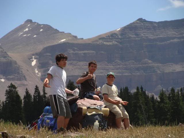
It's been over six years since Josh, Tanner, Landon and I have been on a "real" backpacking adventure together. This past weekend we finally got back to the High Uintas Wilderness area on a 3-day, 2-night trip, with the goal of climbing King's Peak - the highest point in Utah.
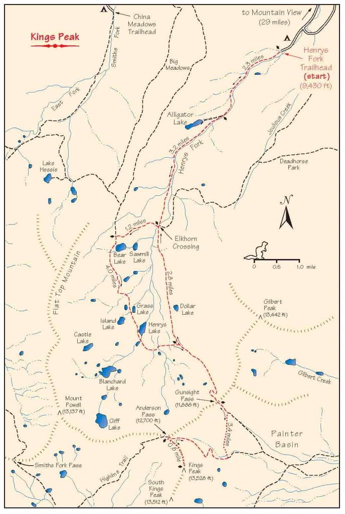
The route starts at the Henrys Fork Trailhead, climbing over 4,100 feet in 16 miles, until reaching the top of King's Peak at 13,528 feet.
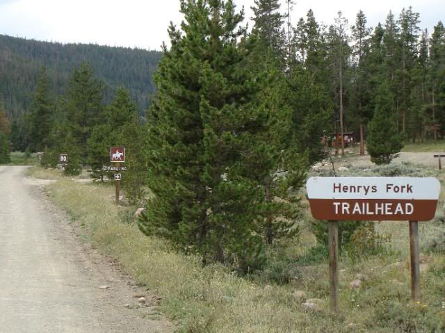
We arrived at the trailhead around 10:00 am, and found many other people with similar plans.
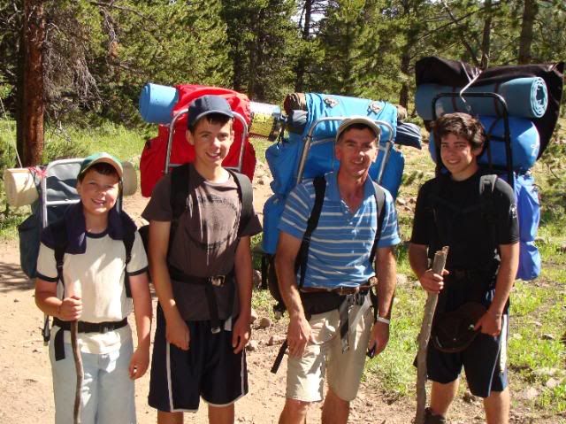
We put on our boots, shouldered our packs, and headed up the trail.
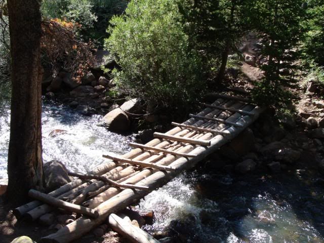
After 5.5 miles we crossed the Henrys Fork at Elkhorn Crossing.
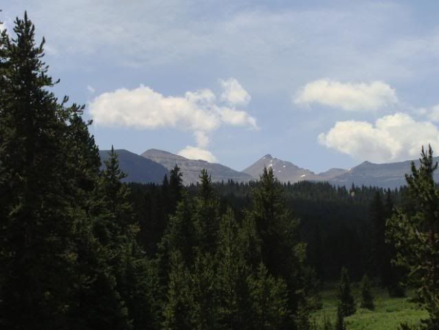
As the trail gradually climbed, we caught a glimpse of our distant goal.

We arrived at the trailhead around 10:00 am, and found many other people with similar plans.

We put on our boots, shouldered our packs, and headed up the trail.

After 5.5 miles we crossed the Henrys Fork at Elkhorn Crossing.

As the trail gradually climbed, we caught a glimpse of our distant goal.
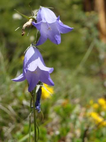
The vivid wildflowers were in bloom everywhere.
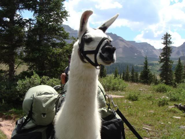
A small party with a couple of llamas were on their way out.
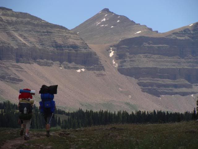
As the trail climbed to the upper Henrys Fork, the views became breathtaking!
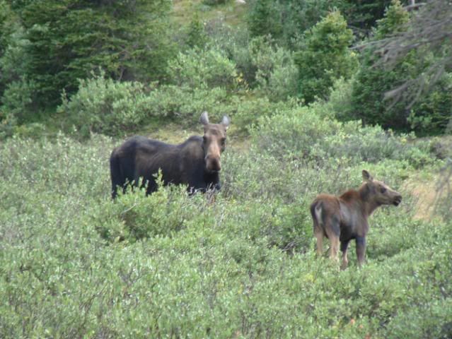
We passed by Dollar Lake to look at Henrys Lake and Lake Blanchard. Along the way we stopped to watch a mother moose and her calf. We didn't watch too long, as the mother seemed a bit agitated! Eventually we returned to Dollar Lake and found a nice campsite there. The detour resulted in about a 12 mile day.
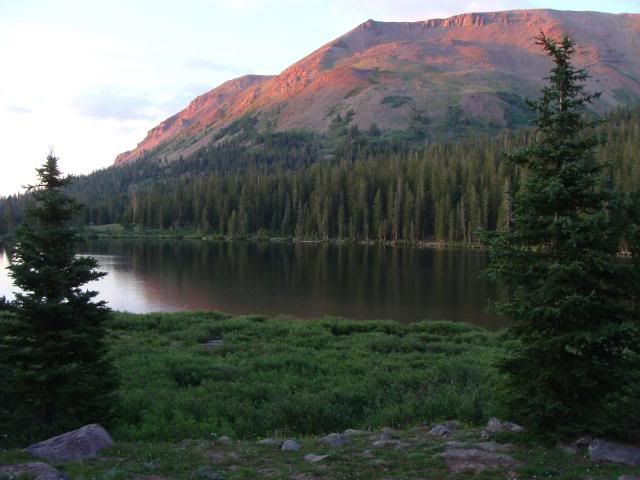
The lake yielded a beautiful view as the sun dipped below the horizon and the water glassed off.
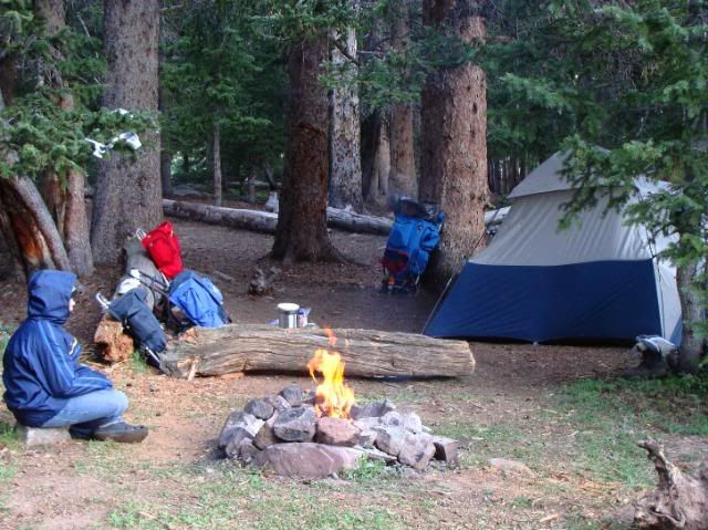
Our camp was far enough away from the lake (at least 1,000') to allow us to have a nice campfire. The mosquitoes were enthusiastic, but our bug spray seemed to keep them away for a few hours before re-application was needed.
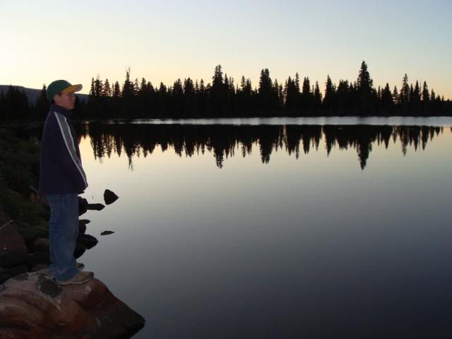
That evening Landon surveyed the water, planning his fishing strategy. I awoke during the middle of the night and looked outside of the tent at the amazing million-star sky. It was difficult to get back to sleep, anticipating the next day's challenging climb.
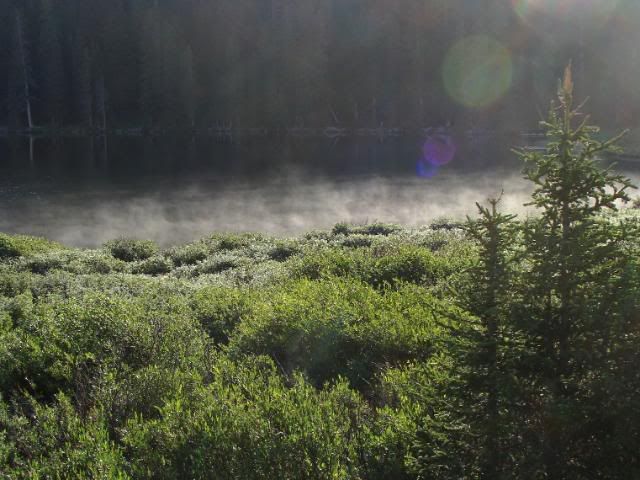
The next morning's chill lasted only until the sun came over the ridgetops.
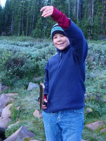
Landon (& Dad) caught one little cutthroat trout on a wet fly and a bobber, but we decided to throw this one back
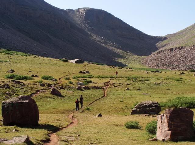
We were back on the trail by about 9 am, heading toward Gunsight Pass on the way to King's Peak.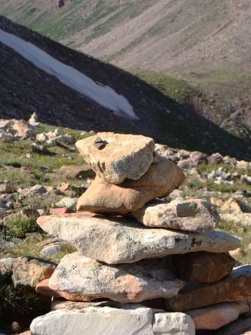
From Gunsight Pass we followed the route through the cliffs to the west marked by a series of cairns. This route allowed us to avoid losing any elevation on the main trail through Painter Basin.
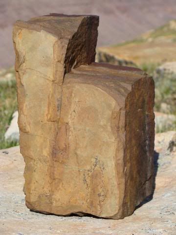
Along the way, we noticed scattered, broken rocks in the shape of numerous states, including this "chunky" Utah.
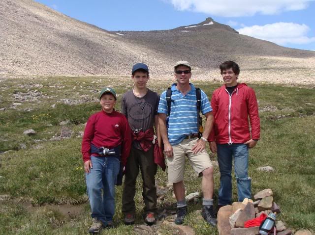
The route eventually rejoined the Highline Trail just east of and below Anderson Pass.
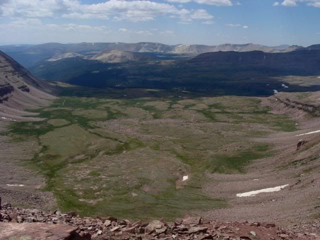
From Anderson Pass, the very exposed trail above the green, U-shaped valley to the west came into view. We took a break at "Albacore Pass" to prepare for the final push to the summit.
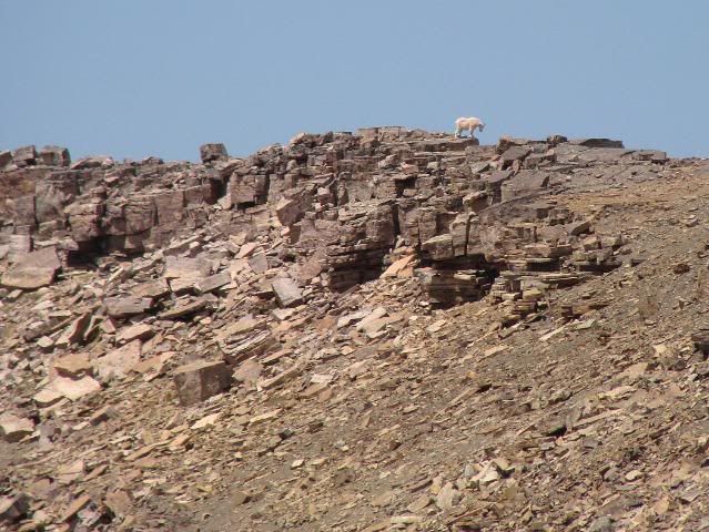
We watched a mountain goat along the ridge just north of Anderson Pass. It disappeared around the north side of the ridge to explore the cliffs.
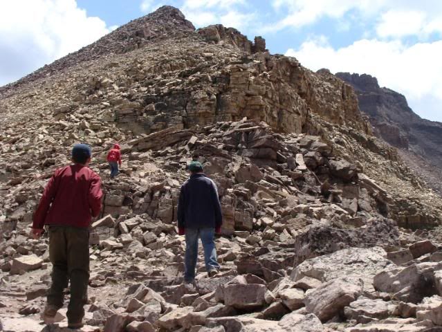
Then we started the last stretch of the climb up the steep, boulder-strewn route to the top. Now well over 12k', our pace slowed dramatically as our lungs struggled to extract what little oxygen the thin air provided. As our enthusiasm waned, the boys helped each other with words of encouragement.
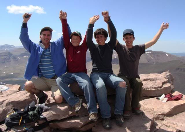
Finally, after numerous discouraging false summits, we made it to the top at about 2 pm.
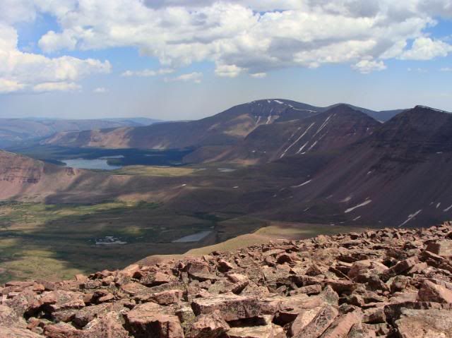
The weather could not have been better, allowing for incredible views, like this one to the south into Atwood Lake basin,
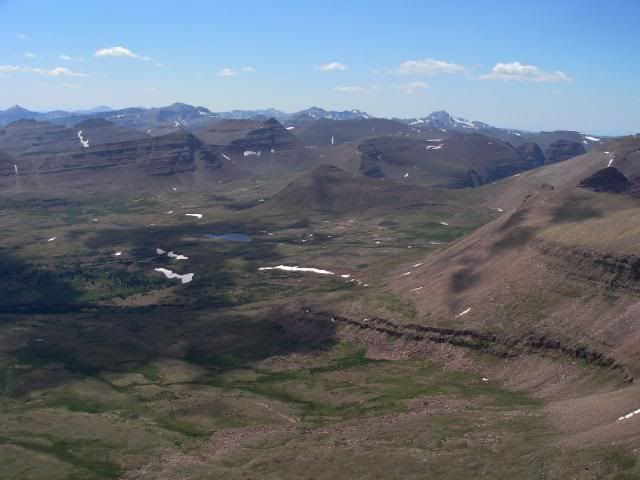
to the West toward the Mirror Lake Highway,
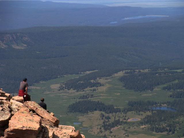
and to the north toward Dollar Lake, Henrys Fork, and beyond into Wyoming in the distance. We spent about a half hour on top with another group of people from Washington - one of which was working on climbing the highest peak in all 50 states! King's Peak marked his 38th summit. We then began the tedious descent, carefully negotiating the rocks on tired legs.
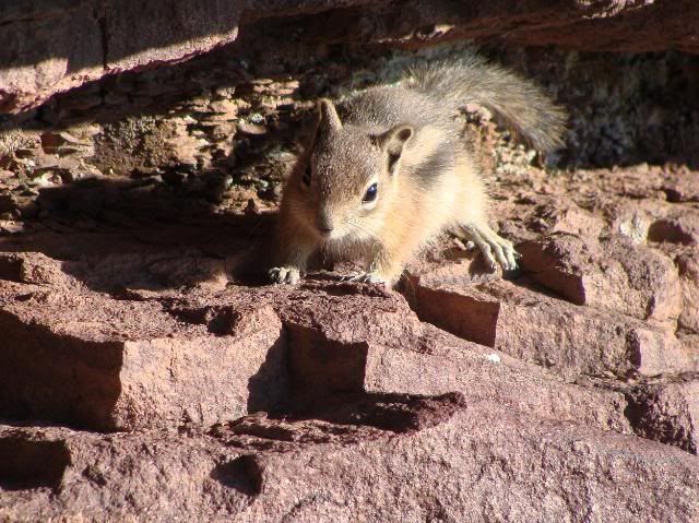
We retraced our route and finally returned to our camp, only to discover that a squirrel had eaten the bag of mini-bagels which had been in a zippered pocket of my backpack! Bummer.
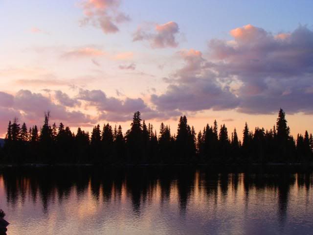
Our last night at Dollar Lake, we were treated to another beautiful sunset.
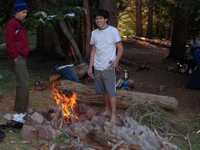
We enjoyed one last campfire, courtesy of Josh the "firemaster". We all slept very well after a long day of hiking and scrambling.
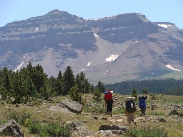
The next morning we packed up and started back down the trail.
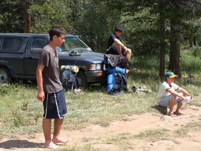
We made it back to the trailhead by about noon, and compared our "hiker's tans" around our ankles. It was hard to tell if it was more trail dust or suntan! Altogether we hiked about 35 miles. After stopping to eat in Evanston, we continued on home to hot showers and warm beds, with many great memories of our adventure and images of the inspiring High Uintas Wilderness.



4 comments:
Awesome! Wish we could have joined you guys. Beautiful scenery and pictures. Well done, bro. What camera do you use for those shots?
Oh Wow! Beautiful!
Fantastic. thanks so much for the beautiful pictures. I could feel the beauty - Love,Mom
Thanks! It's the Sony DSC-H3 point and shoot. Not quite as good as actually being there, but close.
Matt
Thanks for the update with all of the pictures. It was like being there for me. Minus the sore legs, mosquitoes, and having to hike 35 miles. Now I don't have to do the hike myself.
Post a Comment